Locate the question
Begin with the relevant place, parcel or property.
 marketcode.
LOADING MARKETCODE
Review planning and environmental evidence alongside ownership, buildings and local market conditions, without switching between disconnected products.
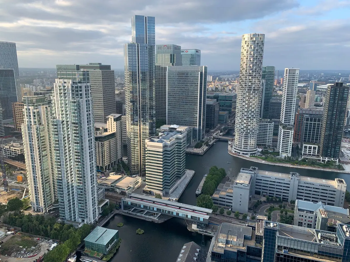
Begin with the relevant place, parcel or property.
Add planning applications, authority boundaries and environmental constraints. Zoom closer to understand the physical context.
Open source attributes and site evidence alongside the map. Distinguish recorded facts from modelled or incomplete information.
Read the market at area level. Look closer for neighbourhood patterns. At street level, inspect land, buildings and individual units. Your research stays connected to its location.
Explore Wandsworth on the mapNo. It may reflect coverage or unavailable data. Use the source evidence and relevant authority to confirm constraints.
Yes. Buildings, parcels and linked units can be inspected at street level when covered by the data.
The same map. The data layers that matter to your decision.
Investigate a site